
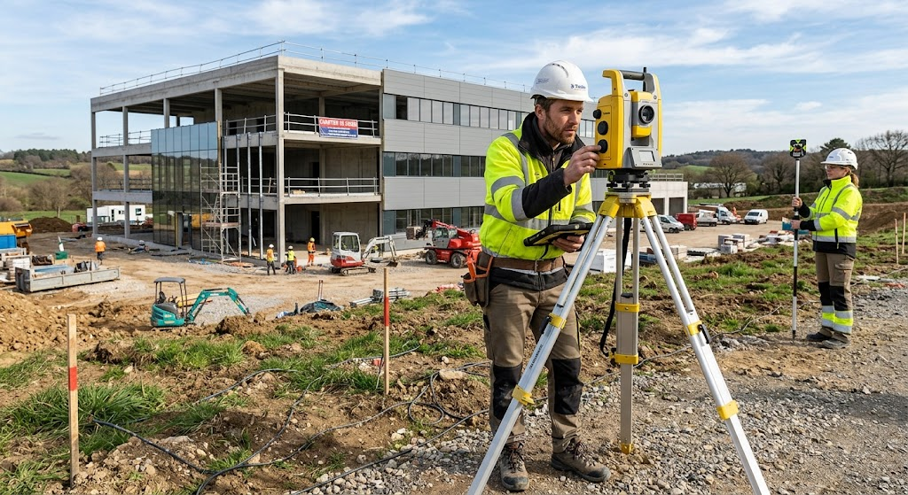
Accurate measurements are essential for understanding land boundaries, assessing terrain, and documenting building features. From traditional instruments to advanced digital technologies, surveying equipment helps professionals collect reliable data, support construction projects, and ensure that every detail is carefully measured and recorded.
Land Surveying Equipment for Reliable Site Measurements
Surveying turns observations of the physical world into data used for property records, topographic maps, construction layout, and infrastructure planning. Reliable measurements help identify boundary positions, assess slopes, locate existing features, and guide design decisions.
The right setup varies with the site and the survey. Satellite signals may work well across open ground but become less dependable near dense trees or tall buildings, where an optical instrument can provide a useful alternative. Combining tools also allows measurements to be checked, reducing the risk that a single reading or environmental obstacle affects the final record.
- Total station: measures horizontal and vertical angles alongside distances, supporting mapping and construction staking.
- GNSS receiver: establishes geographic positions and control points, particularly across open or extensive sites.
- Automatic level and Digital level: determine height differences for grading, drainage, and building work.
- Theodolite: measures angles for alignment and layout tasks.
- Measuring tape and Distance meter: check dimensions and short-range distances.
Surveying Instruments for Angles, Distance, and Elevation
Each instrument answers a different measurement question. A Total station combines angle measurement with electronic distance measurement, then stores observations digitally. It is commonly used for topographic surveys, boundary work, road layout, and setting out building positions.
A Surveying prism, mounted on a pole, reflects the station’s signal; a stable Tripod keeps the instrument correctly positioned. Robotic models can track a prism remotely, reducing the need for a second operator in suitable field conditions. For elevation work, an Automatic level or Digital level is paired with a leveling staff to compare heights and check slopes.
| Equipment | Primary measurement | Typical application |
|---|---|---|
| Total station | Angles and distances | Mapping and construction layout |
| GNSS receiver | Geographic position | Control points and large sites |
| Automatic or Digital level | Elevation differences | Grading and drainage checks |
| Laser scanner | Dense three-dimensional surface data | Building and site documentation |
Theodolites remain useful when angle measurement is the main requirement, although Total stations combine that function with distance measurement. A Measuring tape and a Distance meter can verify short dimensions or offsets, but they do not replace survey-grade instruments when precise site control is needed.
Digital Mapping Tools for Buildings and Terrain
A Laser scanner captures many points across visible surfaces, producing detailed three-dimensional records of buildings, structures, and terrain. This can document complex geometry more completely than isolated measurements, while drones equipped with cameras or LiDAR can efficiently collect aerial information across larger or hard-to-reach areas.
These technologies complement rather than eliminate ground surveying. Control points and checks made with conventional instruments help tie captured data to known positions and elevations. Data collectors record observations in the field, including point descriptions, and surveying software processes them into maps, surface models, or construction files.
Typical outputs include boundary drawings, topographic plans, building records, and terrain models. Their usefulness depends not only on the volume of data but also on sound field procedures, suitable control, and careful processing.
Equipment Selection for Different Survey Conditions
Choosing equipment begins with the purpose of the survey and the conditions on the ground. An open site may suit GNSS positioning, while building obstructions, tree cover, steep terrain, or tight elevation tolerances may call for a Total station, level, or a combined approach.
Surveyors also consider the required accuracy, deliverables, access, and coordination with design or construction teams. A dependable survey is not defined by the most advanced instrument alone; it comes from matching tools to the work and verifying results throughout the process.
From measuring tapes to satellite receivers and laser scanners, each tool contributes a distinct part of the site record. For property boundaries, construction layout, or building documentation, consult a qualified land surveying professional to determine the appropriate methods and equipment for the project.