
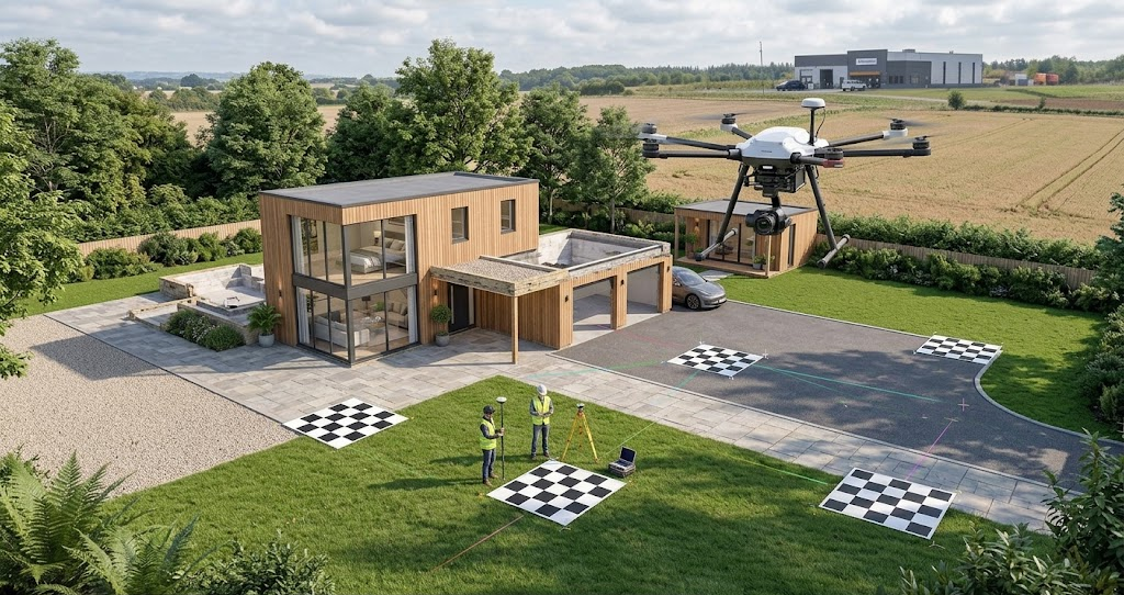
How Ground Control Points Improve Drone Mapping Accuracy
Drone mapping provides detailed aerial data for surveying, construction, agriculture, and land management. However, the quality of the resulting maps […]
Drone mapping provides detailed aerial data for surveying, construction, agriculture, and land management. However, the quality of the resulting maps […]